By HAN News Desk
MOGADISHU — The Director General of Somalia’s National Bureau of Statistics (SNBS), Dr. Abdisalam Abdirahman Mohamed, officially closed a comprehensive training program on Geographic Information Systems (GIS) designed to strengthen the country’s capacity to monitor environmental indicators linked to the Sustainable Development Goals (SDGs).
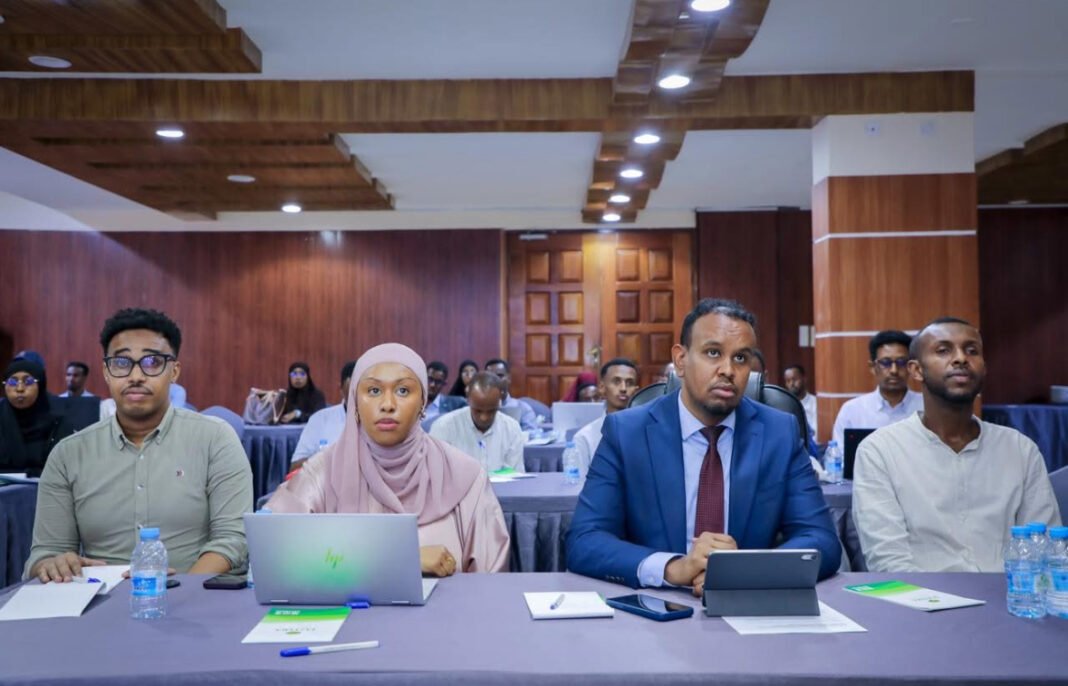
The training, organized by the SNBS in partnership with development agencies, brought together technical representatives from several key ministries — including Environment, Agriculture, Livestock, Energy, Fisheries, Planning, and the Somali Disaster Management Agency (SoDMA). The participants received hands-on training on using GIS tools for data collection, mapping, and analysis of environmental and resource-related indicators.
During the closing ceremony held at the SNBS headquarters in Mogadishu, Dr. Abdisalam praised the participants for their commitment and stressed that the use of GIS will play a crucial role in improving evidence-based decision-making across government sectors.
“This training marks an important milestone in Somalia’s efforts to modernize its data systems,” Dr. Abdisalam said. “We are moving toward a unified, integrated national statistics framework that will enable the government to effectively track development progress, manage natural resources, and respond to environmental challenges.”
He urged the participating institutions to apply their new skills to promote inter-agency collaboration and support the government’s broader goal of building a digital data ecosystem that aligns with the SDGs and the National Development Plan.
Background: The GIS program is part of Somalia’s long-term effort to improve its capacity in environmental monitoring and climate data management. The Horn of Africa region faces recurring droughts, floods, and land degradation, making reliable environmental data essential for disaster preparedness and sustainable development planning.


